Bay Bridge east span: Follow construction on Google Earth
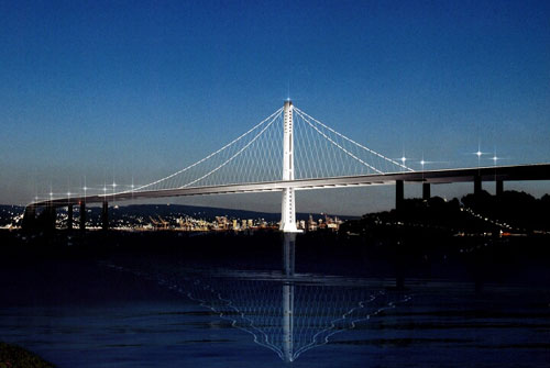
Google Earth users can follow construction of a new Bay Area icon: the self-anchored suspension span of the Bay Bridge connecting Treasure Island and the East Bay.
 "Google Earth offers such a rich interactive environment that allows people to experience the bridge in a whole new way," Bart Ney, Caltrans' spokesman for the Bay Bridge project, said in a statement Friday.
According to a post on the BayBridgeInfo.org Web site, Google Earth users who activate the software's "3-D buildings" layer can keep track of deck and tower sections as they are added to the bridge. Sections that are being lifted into place will appear green, then turn solid when they're in place. The rest of the under-construction bridge appears transparent.
The software also can be used to simulate a drive across the $6.3 billion east span, which is expected to be ready for real-world motorists in 2013 or 2014.
Source: MercuryNews.com, By Frank Michael Russell


